DNM Geospatial, LLC, we know data, geospatial data.
We are a team of critical thinkers who provide geospatial consulting and education services with a focus on customizing solutions for the community needs and not doing things the same old way
Our geographic information systems professionals (GISP) specialize in the complete workflow of data to information, related to how people interact with their environment. From start to finish we support our clients to collect it, clean it, process it, integrate it, analyze it, visualize it, map it, communicate it.
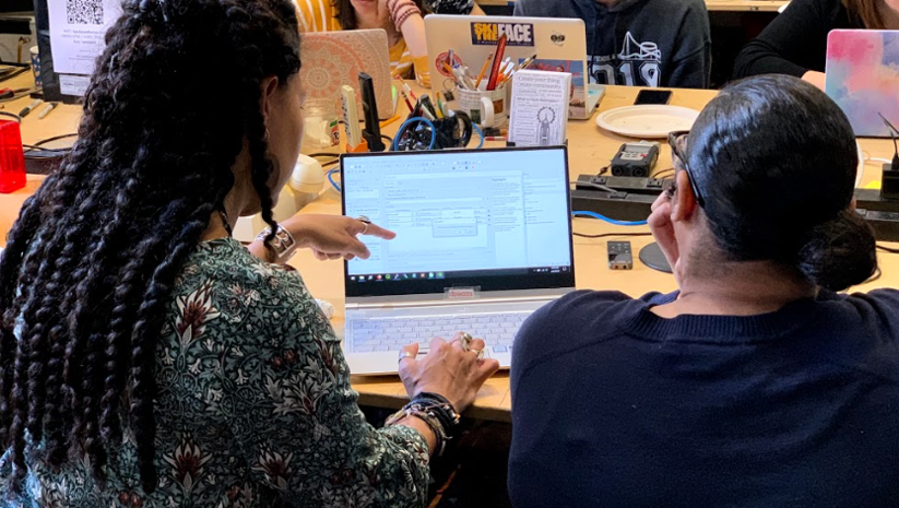
We teach students, train educators, and develop curriculum, for using data science, GIS and geospatial technologies in interdisciplinary projects involving the integration of socioeconomic and environmental data to create data and map products, and applications for distribution to comprehensive and diverse user communities. We foster learning and mentoring of students in GIS, data science, and environmental research because we think it plays an important role in making positive change for all life on our planet.
Our expertise includes:
-
-
- Conservation & Environmental Sustainability
- Environmental Justice
- Water Quality
- Sustainability Management
- Sustainable Food Systems
- Marine Ecology
- Urban Ecology
- Open geospatial data
-
Our team

Dara N. Mendeloff, GISP
Founder
Dara N. Mendeloff, GISP, is a Senior Geographic Information Scientist and Environmental Educator. Dara has over 20 years of experience researching and developing geospatial data technologies, as well as coordinating projects for academic research, local government, and with non-profits, including work at the Center for International Earth Science Information Network (CIESIN), the Earth Institute / Climate School at Columbia University, NASA Socioeconomic Data and Application Center (SEDAC), and the New York City Department of City Planning. Dara’s research focus is largely on local, regional and global geospatial data management and applications for sustainable development.
Dara has developed data products such as the Global Subnational Infant Mortality Rates and Food Insecurity Hotspots, as well as manages map service operations for the NASA Socioeconomic Data and Application Center (SEDAC). She has developed mapping tools for New York City area projects such as the Jamaica Bay Water Quality Database, in addition to assisting communities in the Hudson Valley with the mapping of their wastewater infrastructure to create data suitable for use in flood resilience planning.
Dara also has extensive experience teaching GIS courses as a Lecturer at Columbia University and the New School, as well as mentoring high school students in the Woodland Ecology Research Mentorship (WERM) program at Wave Hill and the Lamont-Doherty Secondary School Field Research Program (SSFRP) at Columbia University. She is an alum member of the Esri T3G (Teachers Teaching Teachers GIS) group, where she supports other educators (focused on K12) in their use of GIS for their classroom, field work, or extracurricular activities.
Dara received her MA in geography/GIS from CUNY Hunter College, BS in environmental science and BA in mathematics / computer science from SUNY Purchase College. She currently serves on the Board of Directors of NYC Geospatial Information System and Mapping Organization (GISMO).
Why Us?
DNM Geospatial is a team who cares about planet earth and beyond. We care about accessibility and fairness for all. We care to make information and tools for analysis easily accessible and affordable for all. The most important thing we can do to protect the planet – not to profit from it – but to put our sustainable thinking caps on – so that we all can enjoy this journey of life